Ascension Island Expedition — Ascension Island, Day Two: Green Mountain
Posted by AbyssWriter on 1/20/08 • Categorized as Ascension Island
MECHANICSVILLE, Va. (Saturday, July 7, 2007) – Afterward leaving Jacqui Ellick and her Green sea turtle nesting project, I returned to the the American air field to shower, prepare lunch for the day (peanut butter and jelly), and head into the field with Steve Stephenson and Tom Smith.
The three of us first headed into Georgetown. I may have been the reason – one of my biggest problems on the island was in dealing with a caffeine deficiency. I wasn’t staying at the Obsidian Hotel or its affiliates. I wasn’t stationed at the American or British bases, working for one of their contractors, nor working for one of the other outfits on the island, like the BBC, which had a cafeteria for workers. Thus, I had no easy access to coffee, and unless I were in the right place at the right time – mid-morning was NOT the right time – I was screwed.
I found some overly baked coffee at one of the restaurants in town. Like a homeless person digging cigarette butts out of the garbage, I took it and was grateful for what I could find.
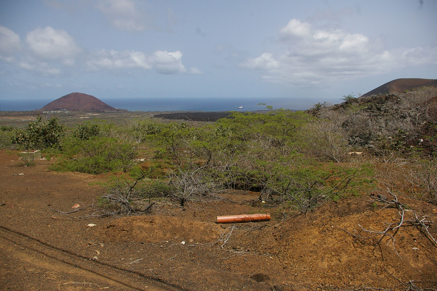
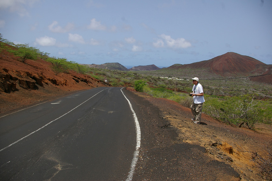
We left Georgetown and headed toward Green Mountain. This was our first opportunity to get a really good look at the interior of Ascension. In some ways, the landscape reminded me of the deserts of southeast Arizona – it should have, for the bulk of the greenery visible was mesquite (Prosopis juliflora) and prickly pear cactus (Opuntia vulgaris) introduced from the deserts of North America.
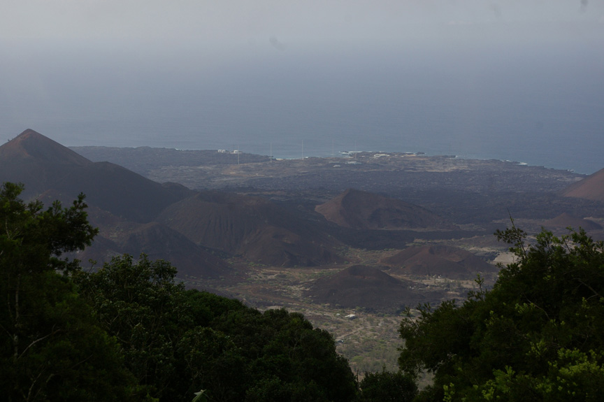
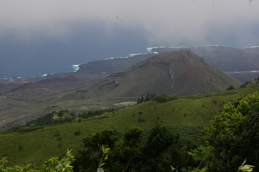
For the most part, the green was but a garnish. The most prominent color was a rusty red mixed with ashy gray of the cinders, ash, and lava from the numerous volcanic cones and vents of the island.
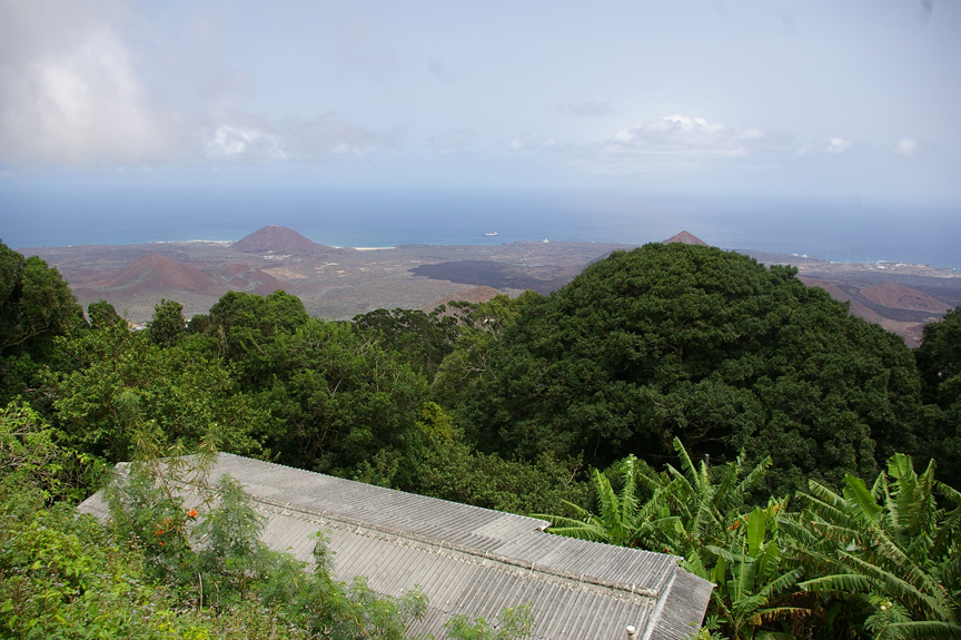
As we passed Two Boats, however, the volcanic desolation gave way to forest. Steve and I have spent lots of time in forests – we’ve worked together since 1992 in studying the forests of Virginia and West Virginia, for example, and we’ve both seen our share of tropical forests. The forest on Green Mountain, however, was much, much different from anything we had ever seen.
OK, there were trees, shrubs, grasses, herbs, vines, ferns, mosses, etc., like you would find in any mesic (moist) forest. But this forest was completely artificial, consisting of species from around the world thrown together in a haphazard fashion. And it works! It is healthy. It is maintaining itself. It is modifying the surrounding environment, for good in some ways, for ill in others.
On the good side, Joseph Dalton Hooker, a botanist, friend of Charles Darwin, and one of the earliest supporters of Darwin’s theory of evolution, proposed the planting of an artificial forest on Ascension in a report to the British Admiralty in 1847 for the purpose of enhancing the climate – in other words, increasing the rainfall. He recommended that certain types of species in certain areas: shrubs in ravines, trees up on Green Mountain, tropical crops in the wetter areas near the mountain’s summit.
Hooker’s plan seems to have worked. The forest, consisting of species from Africa, the Americas, Asia, Australia, Europe, and the Pacific, seems to have taken root. Anecdotal evidence seems to indicate that rainfall has increased, at least on Green Mountain.
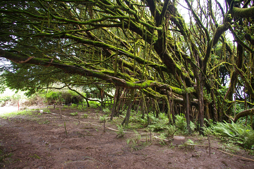
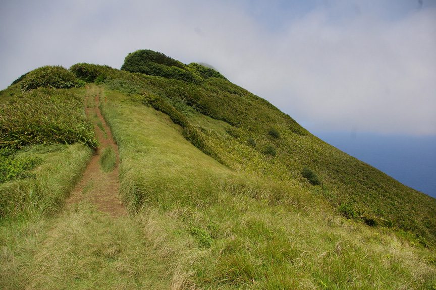
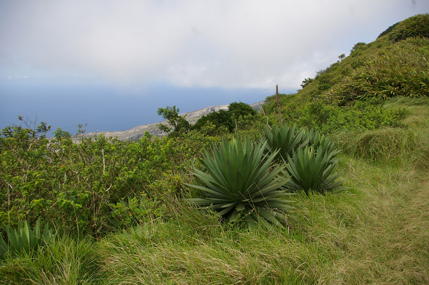
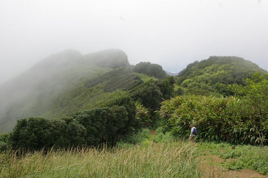
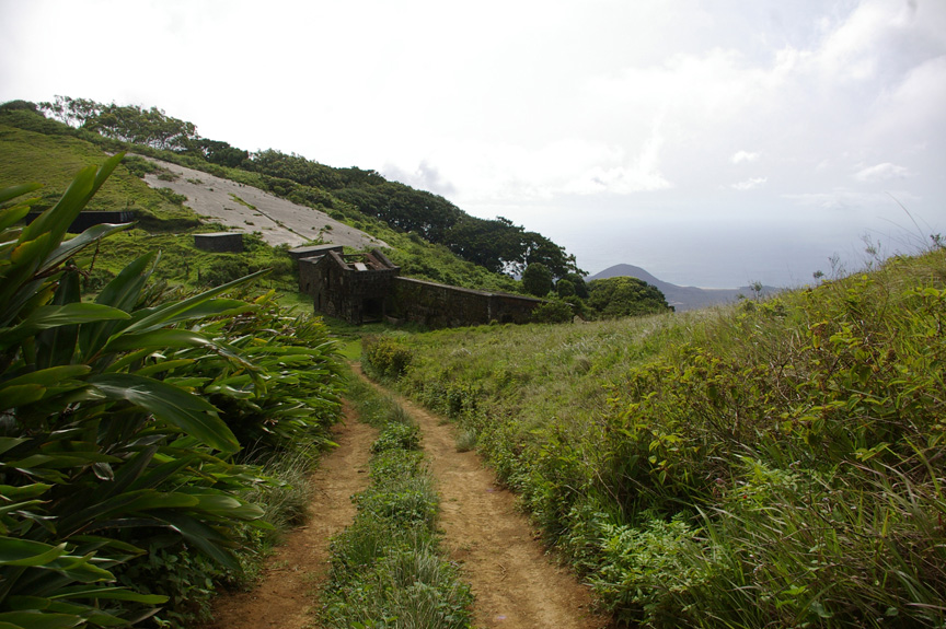
The low plants to the right of the trail are Marattia purpurascens, a fern endemic to Ascension Island. (Copyright © 2007 David M. Lawrence)
The problem is, however, that some native plant and animal species have been adversely affected by the introductions – some have gone extinct, others are on the verge of extinction. The groundwater regime has been disrupted. Historic springs, such as Dampier’s Drip, on the flanks of the mountain have gone dry as the trees have pumped the water out of the ground and into the atmosphere via a process called evapotranspiration.
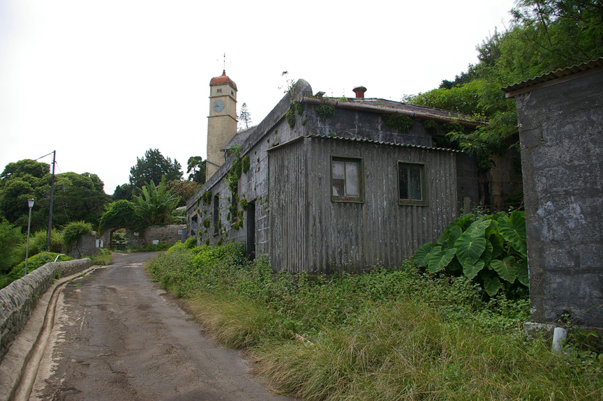
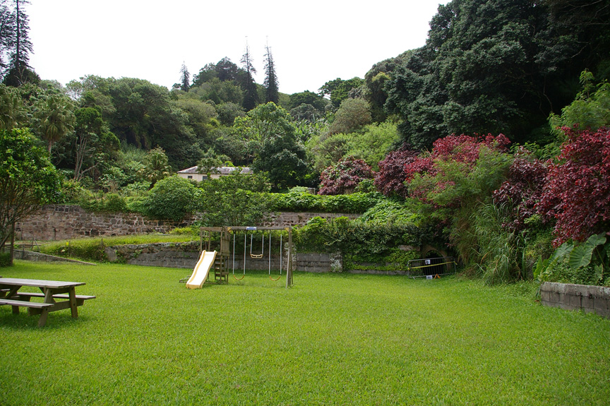
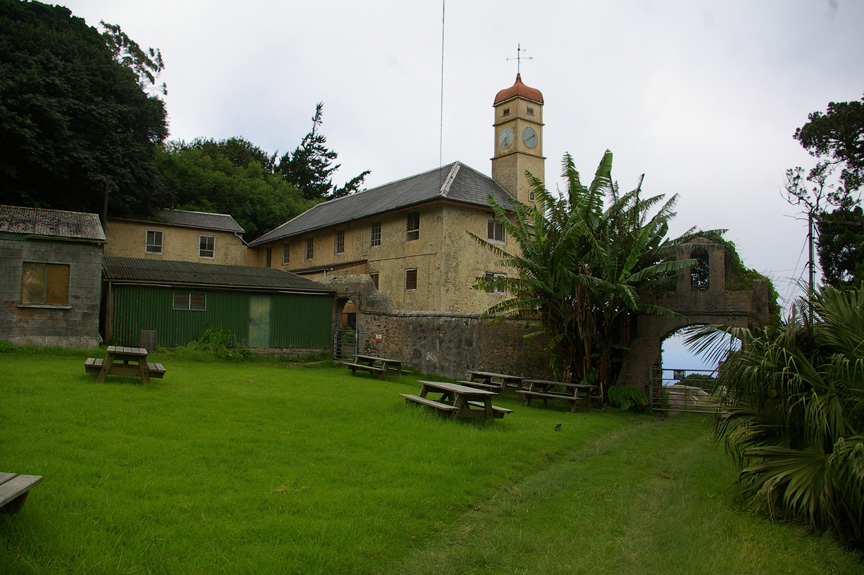
MECHANICSVILLE, Va. (Sunday, July 8, 2007) – Near the summit of Green Mountain is the colonial administrator’s residence. Higher up is Garden Cottage (now part of the Obsidian Hotel) and an abandoned barracks for the old Royal Marine Garrison. The Garden Cottage is aptly named. It has long been the site of a garden for the British personnel stationed on the island. Ascension conservation staff manage several greenhouses and open-air gardens there. Someone takes care of a number of ornamentals on the cottage grounds. The gardens there used to be so successful that the British would sell surplus produce to passing ships.
When we arrived at the Garden Cottage, I went ahead to meet with Stedson Stroud in the greenhouses. There I ran into Dominique, a woman returning to England with her husband, Mike, and son, after working several years as a conservation officer in the Falklands. Steve and Tom had mentioned an interest in going there (as I am), so I introduced them to Dominique when they caught up with me.
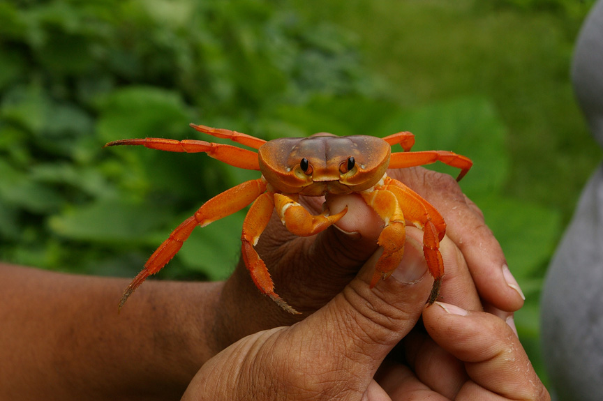
While I waited for Steve and Tom, Stedson spotted an Ascension land crab (Gecarcinus lagostoma) on one of the greenhouses. He measures them as part of an effort to monitor the populations health, and asked me to help catch it. I had the hard job – catcher. Stedson used a pole to knock it loose from the mesh that covered the greenhouse. Somehow I, whose baseball career is marked with a lifetime fielding percentage of .000, managed to catch the crab unharmed. Stedson measured it, I photographed it, and we let it go.
When Steve and Tom arrived, I introduced them to Dominique. They had quite a conversation. As they talked, I began walking up to the summit. Steve and Tom would join me before long.
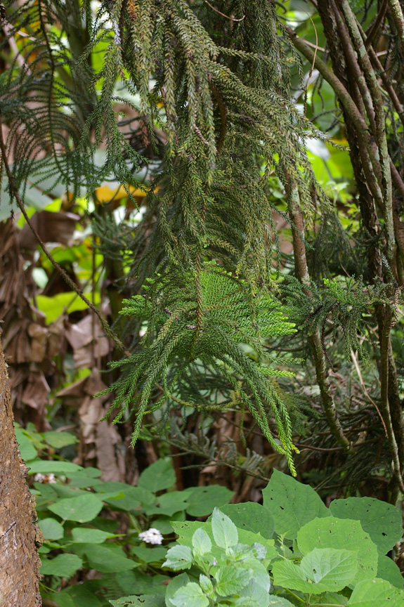
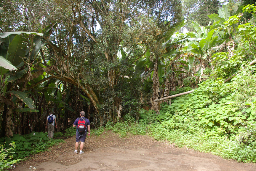
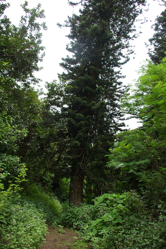
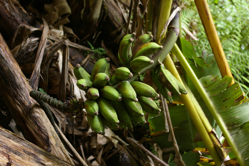
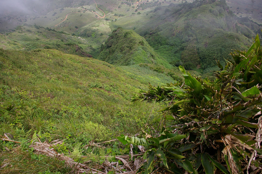
A Norfolk Island pine branch droops among bananas and other plants. (Copyright © 2007 David M. Lawrence)
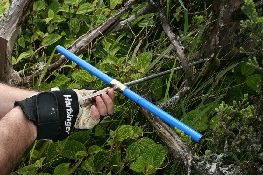
Just below the notch where Breakneck Valley reaches the crest of Green Mountain, I found Elliot’s Path. I followed it for a bit to the east, and saw the southeast shore of the island for the first time. I turned back verily quickly and tried to core three Norfolk Island pines (Araucaria excelsa) along the trail. Working along the slope was pretty damned difficult. One particularly hard part was crawling through the bananas (Musa spp.) – they didn’t offer too steady of a handhold as I slipped on the moist leaf litter.
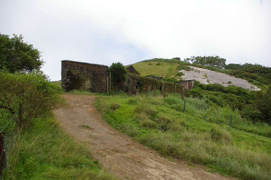
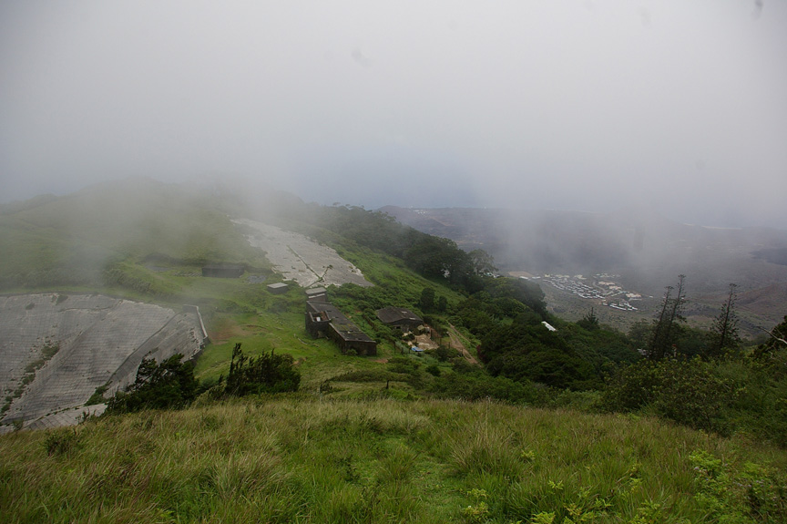
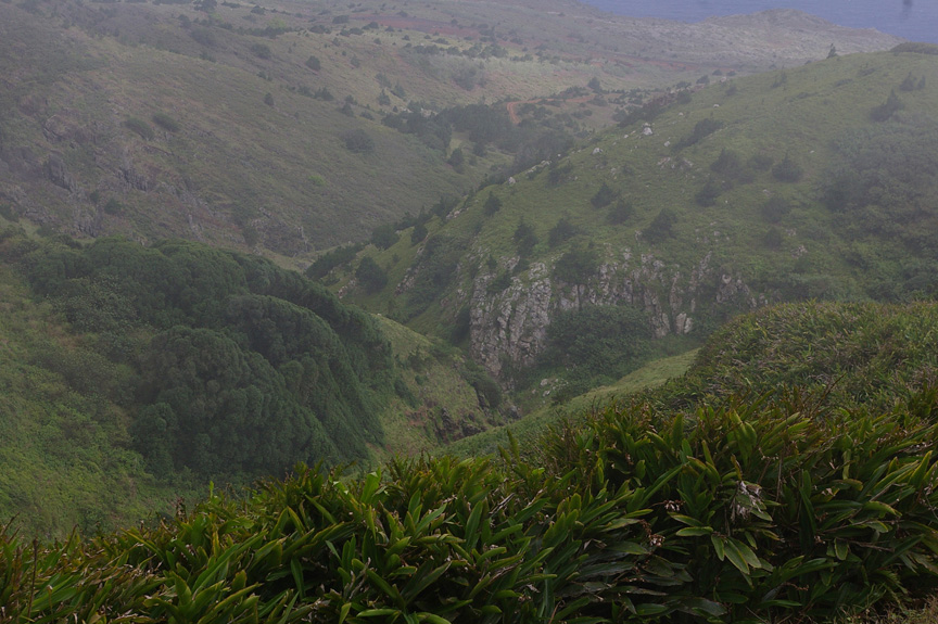
Steve and Tom eventually caught up with me – Tom drove up to the abandoned marine barracks in a notch at the crest of Green Mountain. I joined them as they headed up. When we reached the barracks, we were greeted by a stunning sight – Breakneck Valley, a cleft that runs along the southeast slope of the mountain from the crest down to just above sea level.
The climate is much more pleasant near the summit of the mountain. Temperatures are cooler. It is often breezy – to the extent that gale force winds can be considered breezy – as a result of the nearly constant southeast trade winds. Oftentimes it is foggy (cloudy), as the moisture-laden air carried by southeast trades is forced upward over the mountain, cooling as it rises and forcing the water vapor in it to condense to form water droplets.
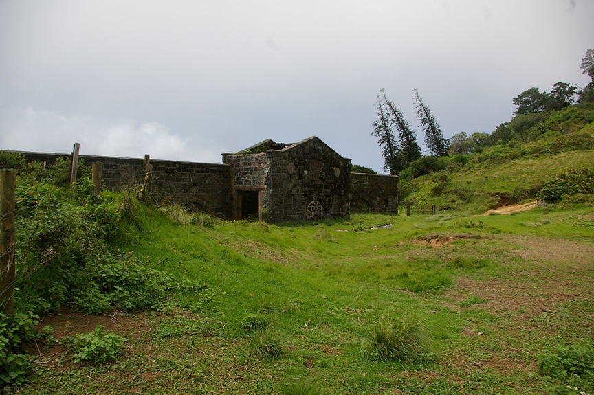
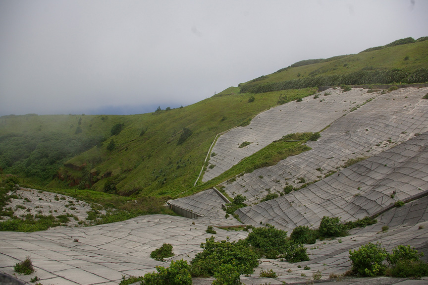
The British took advantage of this to boost the water supply for their garrison there, paving over the head of Breakneck Valley. Condensed water was collected at the base and fed into a pipeline for transport of the water to the settled areas of the island.
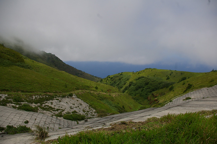
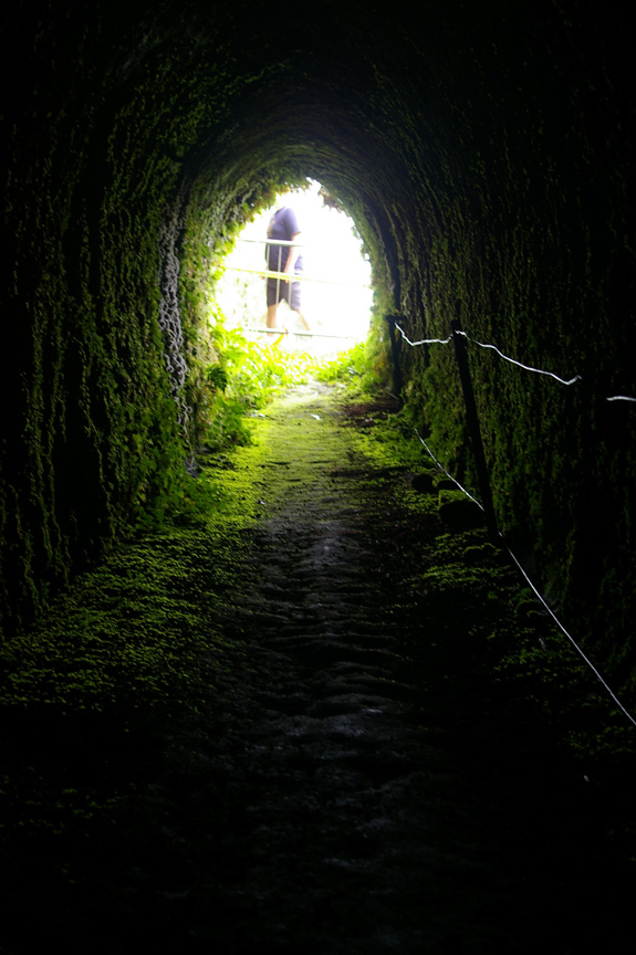
The British collected condensed water at the head of Breakneck Valley. (Copyright © 2007 David M. Lawrence)
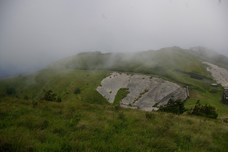
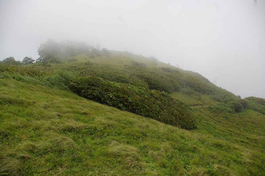
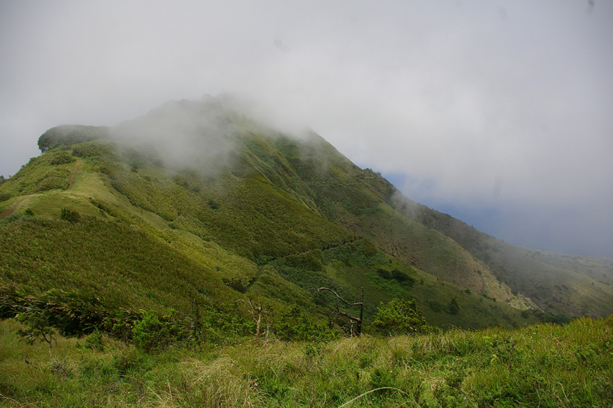
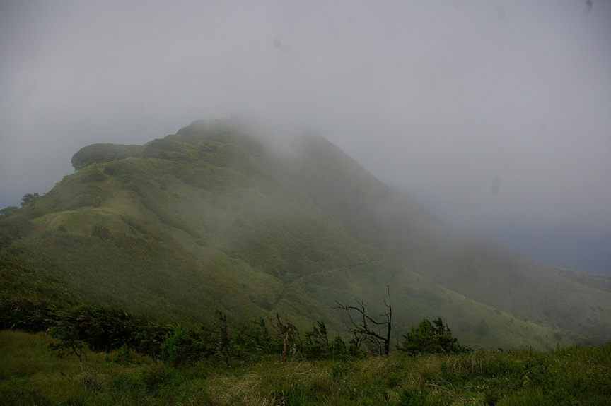
The head of Breakneck Valley looks like part of an island above the clouds. (Copyright © 2007 David M. Lawrence)
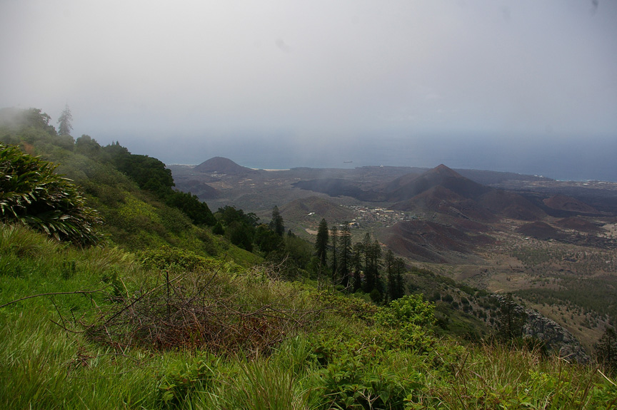
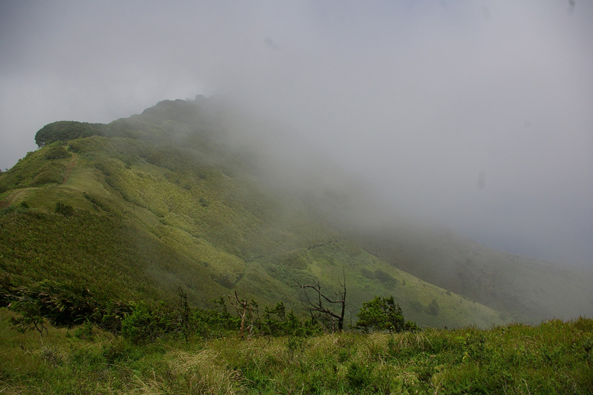
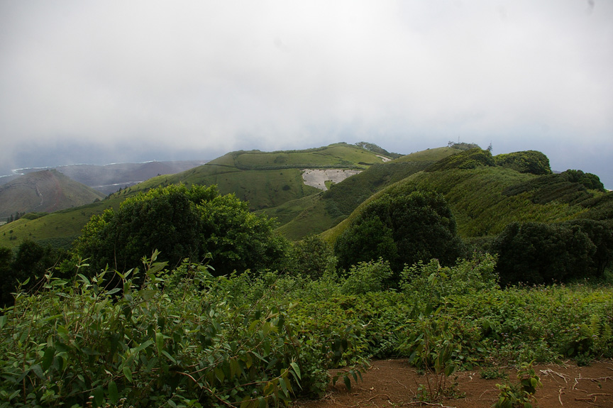
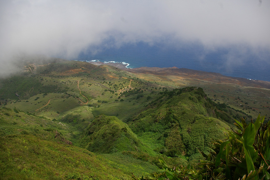
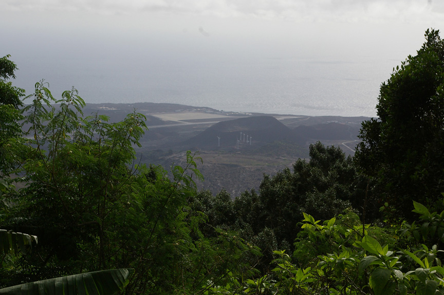
The Ascension Island landscape is a patchwork of green and brown. (Copyright © 2007 David M. Lawrence)
MECHANICSVILLE, Va. (Friday, September 21, 2007) – The summit of Green Mountain consists of twin knobs reached by the Dew Pond Trail, which winds gently along the contour up the marine barracks and around the south slope toward the saddle between the two knobs. The trail then splits, one branch leading to an antenna on the shorter western knob, and another up to the Dew Pond at the summit of the Eastern (and highest) knob.
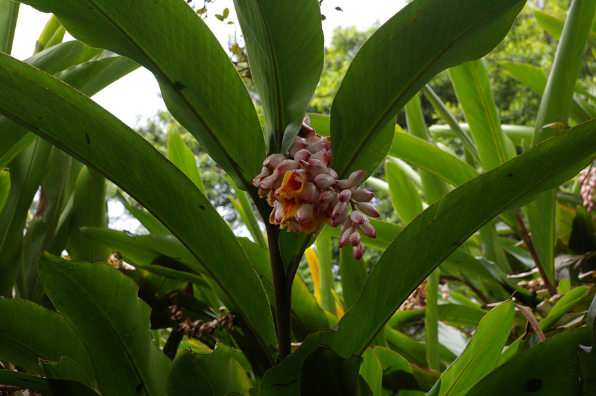
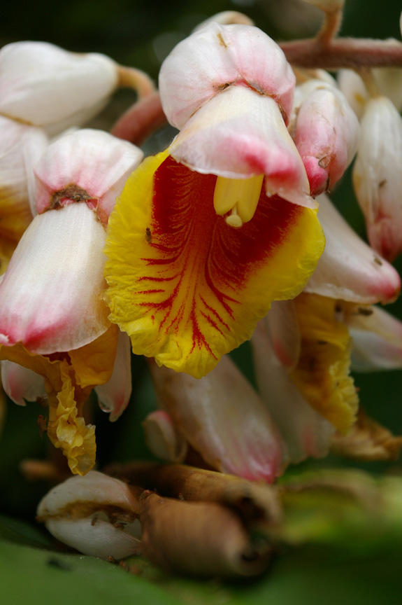
MECHANICSVILLE, Va. (Sunday, January 20, 2008) – On the northern slopes of both knobs, a lush forest – basically an artificial cloud forest – of mixed species, including Red gum (Eucalyptus camaldulensis), Norfolk Island pine, mulberry (Morus spp.), screwpine (Pandanus spp.), Cape yew (Podocarpus elongata), and banana (Musa spp.). The southern and eastern slopes are covered by vast expanses of ginger (Alpinia speciosa); grasses, such as greasy grass (Melinis minutiflora), cow grass (Papsalum conjugatum), and dropseed (Sporobolus spp.); and patches of Bermuda cedar (Juniperous bermudiana) and other tree species.
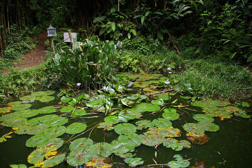
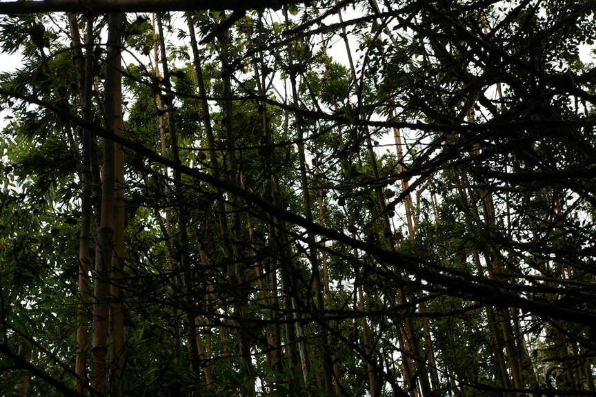
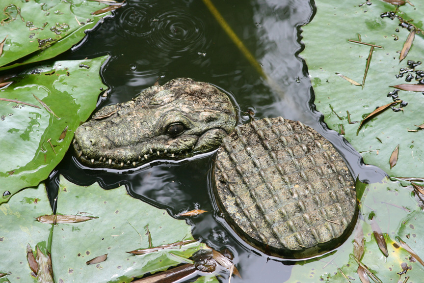
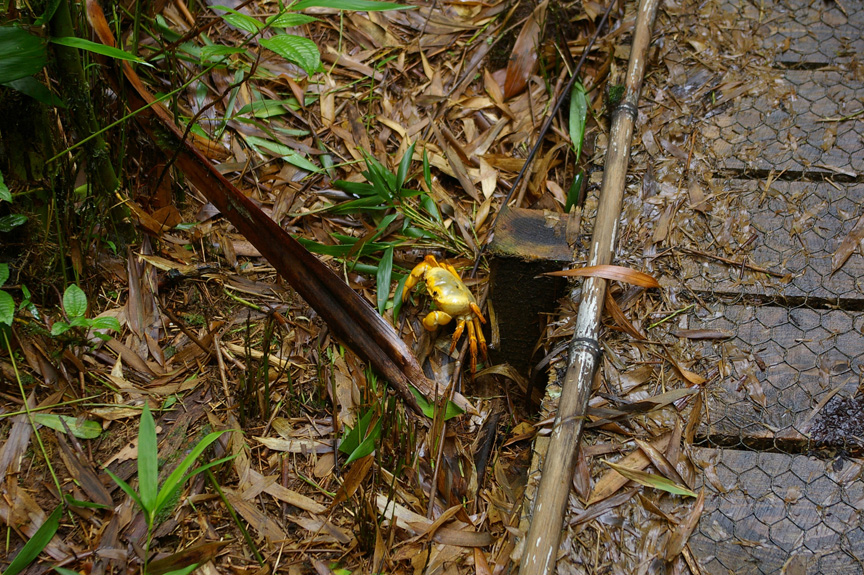
The top of the mountain is covered by one of the weirdest forests I have seen – a dense bamboo (Bambusa spp.) stand that surrounds the Dew Pond (itself complete with Blue water lilies [Nymphaea capensis] and a toy alligator). While walking up a boardwalk on the Dew Pond trail to the summit, I passed another land crab – at more than 2,800 feet about sea level!
The trail then drops down and winds precariously around to the north slope of the mountain. I did not follow it far enough to learn whether or not it joined Elliott’s Path. I did drop into a clearing on the eastern slope, with views of the eastern portions of Ascension. As with most views of the island from Green Mountain, the scenery was spectacular. Somewhere in the distance was Africa. Waves like tiny strands of white thread bathed the shoreline below. Of more immediate concern, however, was the steep slope at my feet. A good gust of wind could have knocked me over and down — with no chance to stop for hundreds of feet.
I preferred the shelter of the forest, so headed back up to meet Steve and Tom.
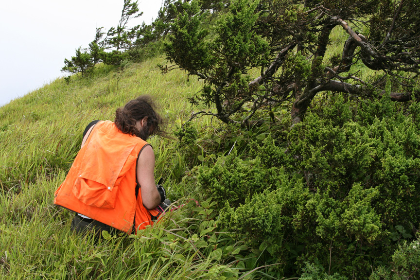
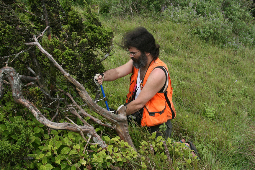
After my explorations along the Dew Pond Trail, I returned to the slopes above Breakneck Valley to core some Bermuda cedar. The wind beat the hell out of me on the steep slopes, making work difficult. I got little done before Steve and Tom joined me for our return to our lodgings on the American air field.
By the time we got back, I was pretty tired. I worked on trying to check my e-mail – that did not work – and later went out in search of dinner at the Volcano Club on the American air field. When I got back, I tried to read some of Frank Herbert’s Dune. I was supposed to write an essay on the ecology of Dune for a forthcoming book, The Science of Dune: An Unauthorized Exploration into the Real Science behind Frank Herbert’s Fictional Universe (BenBella Books, 2008). In my contribution to the book I managed to compare the terraforming of the desert planet Arrakis to the British effort to terraform Ascension. This night, however, sleep came faster than the end of whatever chapter I was trying to get through.
Leave a Response
You must be logged in to post a comment.




You must be logged in to post a comment.